Products
by Category
Flight Planning & Control
Automated drone mission planning and flight control
Integrated Systems
Various sensors integrated with drones, ensured by SkyHub hardware and UgCS software
Drone Show Technologies
Drone light shows for Entertainment & Advertisement
Data Processing
Solutions for image, point cloud, geophysical data processing and delivering essential technologies to facilitate your drone-based business
by Application
Mining
Construction
Photogrammetry
LiDAR surveys
Vertical inspections
Geotagged video surveying
Bathymetry
Sensor Testing Range
Academic research
Test counter-drone system
by Technology
Flight planning software
SkyHub
True Terrain Following
Magnetometers
GPR
Echo sounder
Metal detection
Methane detection
Water sampling
Multi drone operations
Top Products
Support
Downloads
Flight Planning & Control
UgCS
UgCS Commander
UgCS Mapper
Integrated Systems
SkyHub
CPM
GeoHammer
GeoTagger
Data Processing & Reporting
DroneGIS
ImageInspector
Software for Sensor data Processing
Partners
Official Resellers
Find a Reseller
Educational Program
Educational Partners
Academic Research
Partnerships
Become a Partner
Resources
Blog
Insights
Success Stories
Upcoming Events
Guides
How To / Articles
Webinars
Case Studies
Learn UgCS
UgCS Manuals
UgCS supported drones
Newsroom
PR / New
Updates
Trainings
Featured
Contact Us
Contact Us
Shop
Expert in Drone Technology Development
Core Technologies
UgCS: Flight Planning & Control
Plan complex flights with terrain following
Toolset for LiDAR flight planning
Perform vertical inspections
Discover
Discover
Drone Show Technologies
Drone light shows for brand promotions, public and private celebrations, city festivals and sports events
All-in-one solution - software, hardware, choreography, training and certification
Discover
Discover
Integrated Systems
Subsurface search - reveal what is hidden underground
Remote methane detection & environmental monitoring
Bathymetry and hydrology
Discover
Discover
Data Processing and Reporting
Share 4D maps with clients and colleagues
Make reports for roof, building, powerline inspections
Automate photogrammetry processing at scale for organizations
Discover
Discover
Latest News
Integrated Systems
Webinar I Bathymetry with drones: exploring echo sounder technology
-
Discover »»»
Register »»»
Written by
Reading time:
min
Integrated Systems
Drone Technology enables three times faster Methane Emissions Monitoring in Landfills
-
Discover »»»
Register »»»
Written by
Reading time:
min
UgCS: Flight Planning & Control
Come & meet SPH Engineering at XPONENTIAL 2024!
Apr 22
-
Apr 25, 2024
California, San Diego, Convention Center
Discover »»»
Register »»»
Written by
Reading time:
min
Integrated Systems
UAV-based magnetometer comparison: high-altitude test
-
Discover »»»
Register »»»
Written by
Reading time:
min
Drone Show Technologies
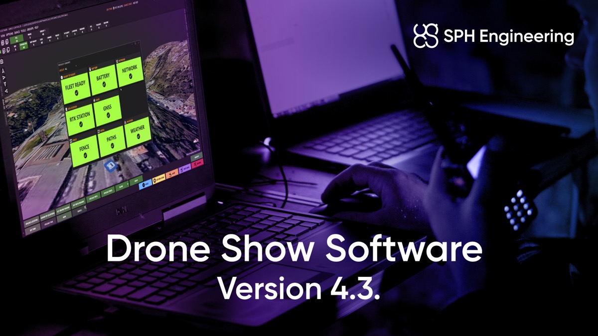
SPH Engineering presents Drone Show Software 4.3, elevating Drone Shows to new heights
-
Discover »»»
Register »»»
Written by
Reading time:
min
UgCS: Flight Planning & Control
The latest update to UgCS - version 4.22 has arrived!
-
Discover »»»
Register »»»
Written by
Reading time:
min
UgCS: Flight Planning & Control
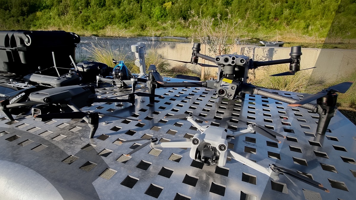
Maximizing DJI Drone Capabilities with UgCS - a Professional Flight Planning Software: An Insightful Guide
-
Discover »»»
Register »»»
Written by
Kristaps Brass,
Product Owner @ SPH Engineering
Reading time:
4
min
Integrated Systems
Exploring Methane Detection: Texas Roadshow
Mar 25
-
Apr 21, 2024
Texas, USA
Discover »»»
Register »»»
Written by
Reading time:
min
All News